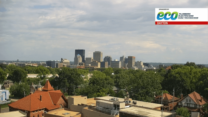
Cooler Temperatures Arrive in Dayton, Ohio Next Week: Prime News Network Weather Forecast
DAYTON, Ohio (Prime News Network) — Although these weekend mornings begin chilly, Dayton residents can expect Saturday to reach mid-80s with a partly cloudy sky. However, a cold front will trigger a dramatic temperature plunge starting Sunday night.
Day Weather Dynamics
A southerly wind will dominate Saturday’s weather patterns, keeping skies mostly cloudy. Meteorologists warn light precipitation remains possible Saturday evening as the cold front progresses through the Miami Valley.
Cold Front Impact Timeline
- Sunday: Temperatures stabilize near 80°F before dropping
- Monday: Early mornings start at 58°F with afternoon highs 70–72°F
- Tuesday: Northwestern counties may struggle reaching 70°F
- Wednesday: Morning lows dip to upper 40s°F in northern communities
- Late Week: Temperatures rebound to 78–80°F by Friday
Area residents should prepare for multiple days of below-average conditions through midweek. Meteorological experts recommend staying weather-aware through the extended forecast as atmospheric instability increases with the frontal boundary.
This three-day cold spell will affect northwest Ohio counties most significantly, with Wednesday mornings likely setting record-breaking local temperature anomalies. The pattern aligns with climatological trends showing mid-June frontal activity deviations.
Ohio Weather Transition